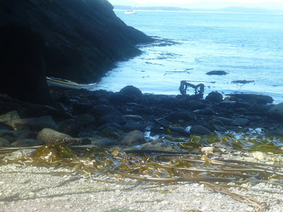
With a few days off of work, a looming full moon, and a bad case of paddler’s itch (the desire to paddle that is), I set my sights on a San Juan County circumnavigation. The plan was to do it in three days, using the spring tides to my advantage. I left the north side of Orcas Island at 3:45 Tuesday morning with a full moon at my back.
Crossing Parker’s Reef at high tide was a river of bioluminescence flowing over shallow rocks at almost 3 knots. I headed northeast, starting with Matia and Clark Islands before the morning ebb tide set in. By sunrise I was rounding Pt. Lawrence, the easternmost point on Orcas. Using the main channel for the strongest currents, I merrily floated along at 7.3 kts east of Blakely Island, no paddling necessary!
 |
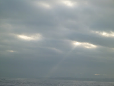
| Rays of sunrise peeking through the clouds |
There were lots and lots of strong eddy lines, whirlpools and large but friendly boils. As the confluence of Thatcher Pass and Rosario Strait approached (a confluence of two currents where things can get EXTRA swirly) my ears perked up. In the distance I could hear a roar. There was a visible height difference on the ocean around the Black Rocks, which mark the merging point of the currents. Boils, nearly a football field wide, were pushing me from side to side as I entered the tidal stream pouring out of Thatcher Pass. Being extremely mindful of ferries looming out of the morning fog, I crossed to James Island, the site of my planned first camp. Looking down at my watch, it was 8:15 in the morning. In 4 ½ hours, over 21 nautical miles had flown by!
With maximum current speed still half an hour away, I decided to push around the south of Lopez, and aim for the Washington Water Trails campsite in Griffin Bay. This was the first time I had ever paddled around the south side of Lopez Island, and it will be the first of many. It was an absolutely beautiful area, with rock formations different than those elsewhere in the islands. It was eerie, with fog closing around me one minute, and pulling back a minute later to reveal Castle Island, with large sheer cliffs with large bird rookeries.
 |
| Watmough Head |
 |
| Castle Island |
Colville Island, just offshore of Castle Island, was further out in the offshore flowing tidal stream, and difficult to see in the fog, so I decided that the potential risks of being pushed offshore in the fog outweighed my desire to go outside Colville Island. The south side of Lopez, in close to shore was mostly a series of large back eddies, meaning I was fighting against the current for almost 6 nautical miles. I had been hoping to cross Cattle Pass at slack current, but it was not to be. Rounding Iceberg Point, the southern tip of Lopez Island, extremely thick fog set in, and small fishing boats loomed in and out of the fog, quite close to me.
 |
| Watching for boats in the fog |

When the fog lifted, I set out to cross between Charles and Long Island, to set up for a ferry glide across the mouth of Cattle Pass.
At this point, with the flood just starting, I reasoned that I could use the flood to push me north to San Juan County Park. It was just after 12:15 when I started crossing Cattle Pass. Mummy and Whale Rocks are notorious Stellar sea lion haul out spots, and I have a strong aversion to marine mammals that are ornery, have big teeth, and can weigh over a ton. I decided to go behind Whale Rocks, so that current would push me away from the rocks instead of into them. As I approached the eddy, I could see a few races flowing, but with no wind to speak of, waves would have been fast and low so I decided to pass. In the distance there were three objects flashing in the sun, which quickly turned out to be three kayakers, two of whom were good friends and old coworkers from San Juan Outfitters, a local guiding outfit on San Juan Island. They were headed to some of the tide races to practice rescues in dynamic water, and they invited me to a coworker’s birthday party if I wanted to paddle an extra 7 miles north to Henry Island. Checking that tides wouldn’t switch to make life harder, I agreed. Free camping and a chance to catch up with old friends? Why not? I cruised up the west side of San Juan Island with the building flood tide, passing through races at Pile and Eagle Points, which were good fun-downriver runs splashing water in my face to cool me off. A male Stellar sea lion popped up not 30 feet from me south of Deadman’s Bay. I cruised up the rest of San Juan, and into Mosquito Pass where the birthday festivities were. 47 nautical miles the first day wasn’t too bad of a start…
The next morning I was invited to breakfast in Roche Harbor, so Henry Island was left un-circumnavigated. I think while guiding, I went around it approximately 50 times, so I am not too upset about missing it. I can give you a play by play of every nook and cranny of that shoreline. After breakfast, I used the ebb in Speiden Channel to push me towards Stuart Island and a back eddy there. Just before doubling Turn Point I waited at a beach for almost 2 hours for the tide to change.


 |
| Turn Pt Lighthouse |
 |
| Crashing waves |
Coming around the point, the Outer Islands came into view faintly on the horizon. I set my aim towards Skipjack, a 10 mile crossing along the edge of the border in Boundary Pass. The crossing was uneventful until the last mile, when I ferry glided across the top of a large, rambunctious race just off the west tip of Skipjack Island.
 |
| Skipjack in the upper left corner |
 |
| Navigation |
Big rollers were breaking erratically, pushing me about as I crossed with a very strong angle to not get swept downstream towards Canada. I was very happy to have my Corryvrecken’s big blades as to help me power across the top of an unfriendly race. I eddy hopped to Bare Island, where the outflow of President’s Channel pushed me north, directly towards Patos Island. 40 minutes later I was drifting past Little Patos, spinning in friendly whirlpools while enjoying my late lunch. Around the corner I took my first stretch break in almost 15 nautical miles, and promptly almost fell over.
 |
| Mt. Baker looming |
Paddling from the north side of Alden Point, crossing to Sucia, and then around the north side of it, and finally back to North Beach on Orcas was just a test of willpower, passing lovely looking campsites calling my name. With my watch ticking down the seconds until 7:00, I took off my sprayskirt for the last time. A two day, 18 hour, 76 mile circumnavigation of the San Juan Islands. It felt good to stand, but walking was a bit of a challenge! Big thanks to Werner Paddles and Spot Communication for their support.


No comments:
Post a Comment